Revolutionary Approach to Flood Visualization
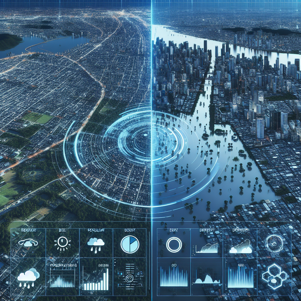
MIT scientists have developed a groundbreaking method that combines generative AI with physics-based flood modeling to create realistic satellite imagery of potential flooding scenarios. This innovative approach, dubbed the “Earth Intelligence Engine,” aims to help residents make informed decisions about evacuation during severe weather events.
Technical Framework and Implementation
The system utilizes a conditional generative adversarial network (GAN) working in tandem with physical flood models. Key components include:
- Hurricane track modeling for storm trajectory prediction
- Wind pattern simulation for local regions
- Storm surge forecasting capabilities
- Hydraulic modeling for flood infrastructure assessment
Addressing AI Hallucinations
To combat the challenge of AI hallucinations – where traditional GANs might generate physically impossible flooding scenarios – the team integrated physics-based parameters. This enhancement ensures generated images accurately reflect realistic flood patterns based on elevation and local geography.
Real-World Testing and Validation
The system’s effectiveness was demonstrated through a case study of Houston, comparing generated images with actual satellite imagery from Hurricane Harvey in 2017. The physics-reinforced method showed significantly improved accuracy over pure AI-generated predictions.
Future Applications and Implications
While currently a proof-of-concept, the system shows promise for:
- Pre-hurricane evacuation planning
- Local emergency response coordination
- Community-level disaster preparedness
- Hyper-local climate impact visualization
The project, supported by organizations including MIT Portugal Program, NASA, and Google Cloud, represents a significant step forward in combining AI with physical science for practical disaster prevention.

